SERVICES
Drone
Drone

We have Long endurance drone for commercial aerial inspection, Aerial Videography, 3D mapping, Photogrammetry , surveying in India. Fully autonomous drone is ideal to capture high-resolution aerial photos that you can transform into accurate orthomosaics & 3D models.
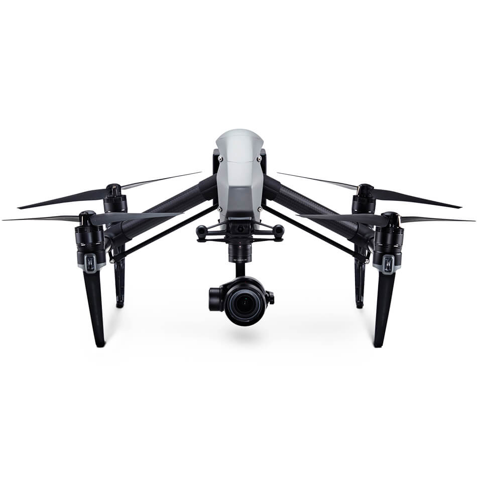
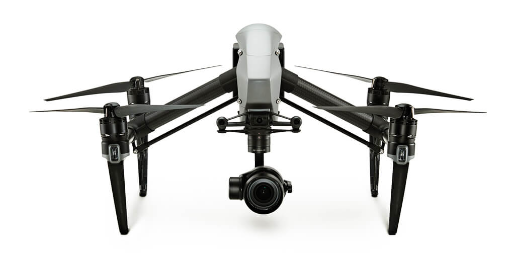
Flexible camera mounts, image stability in all conditions, professional gimbals and flexible camera options are key features. With aerial photography we are increasingly reaching limits in terms of perspective. Now the perspective from which the image is captured is as important as the subject itself. We use UAV Arial drones like Inspire 2 that records at up to 5.2K in CinemaDNG RAW, Apple ProRes and more.
It goes from 0 to 50mph (80kph) in just 5 seconds and hits a maximum speed of 58mph (94kph) and has a max descent speed of 9m/s for unheard of speed and agility in an aircraft this size. A dual battery system prolongs the flight time to a maximum of 27 minutes while self-heating technology allows it to fly even in low temperatures
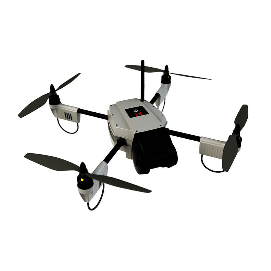

Using an UAV inspection Drone in place of, or in addition to, conventional methods of facility management provides untapped potential for saving costs via activities such as automated maintenance, integrity, and surveillance workflow, and automated data gathering and analysis.The Camera quality used is 50mega pixel which help in close inspection and results in detecting finest hairline cracks.
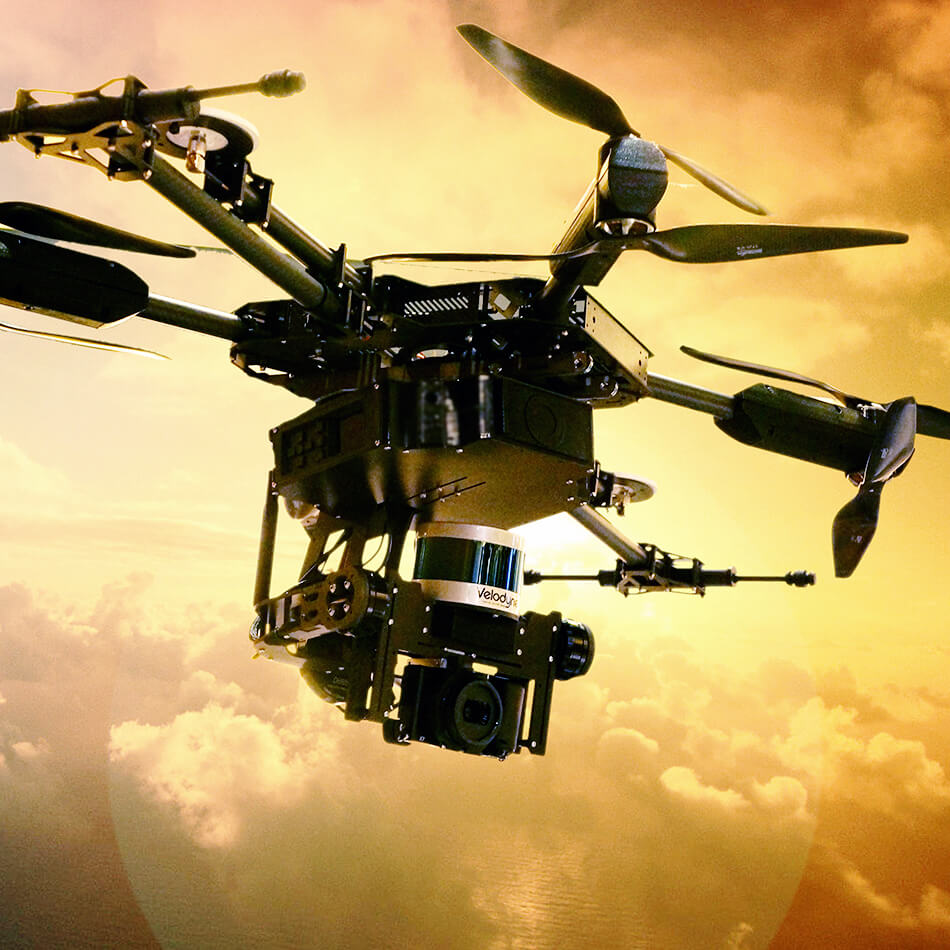
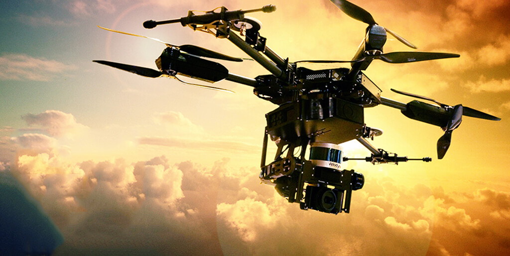
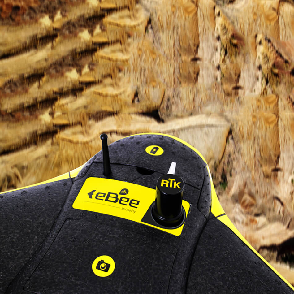
UAV LiDAR Drone is used when we are modeling narrow objects such as transmission lines, pipes, sharp-edge features (for instance roof edges), and fields of rocks (aggregates). UAV LiDAR is a relatively new land surveying technique, which is based on high precision laser scanners, the Global Positioning System (GPS) and Inertial Navigation Systems (INS).